

RTP
Regional Transportation Plan
The long-range transportation planning framework for NYMTC's 10-county planning area.

Metropolitan Planning Organization
NYMTC plans transportation for New York City, Long Island and the Lower Hudson Valley, a region of more than 13 million people.
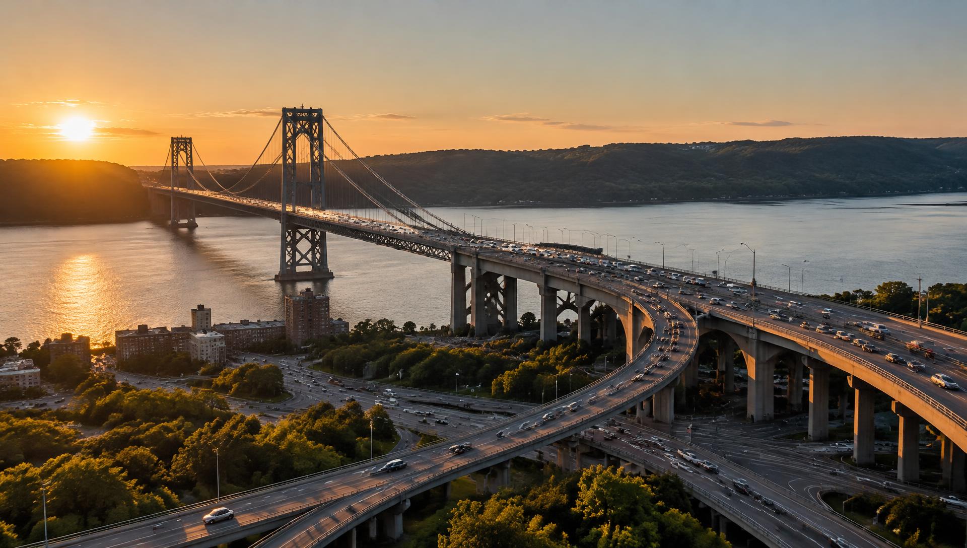
Regional Transportation Plan
The long-range transportation planning framework for NYMTC's 10-county planning area, guiding regional investment and planning.
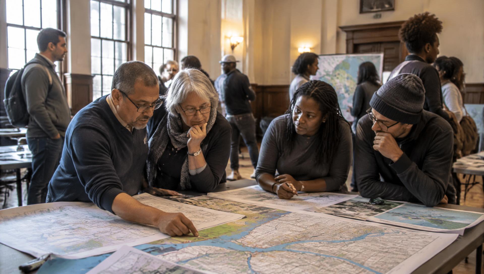
Public Involvement
Take part through meetings, review periods, workshops, webinars and other opportunities to participate in transportation planning.
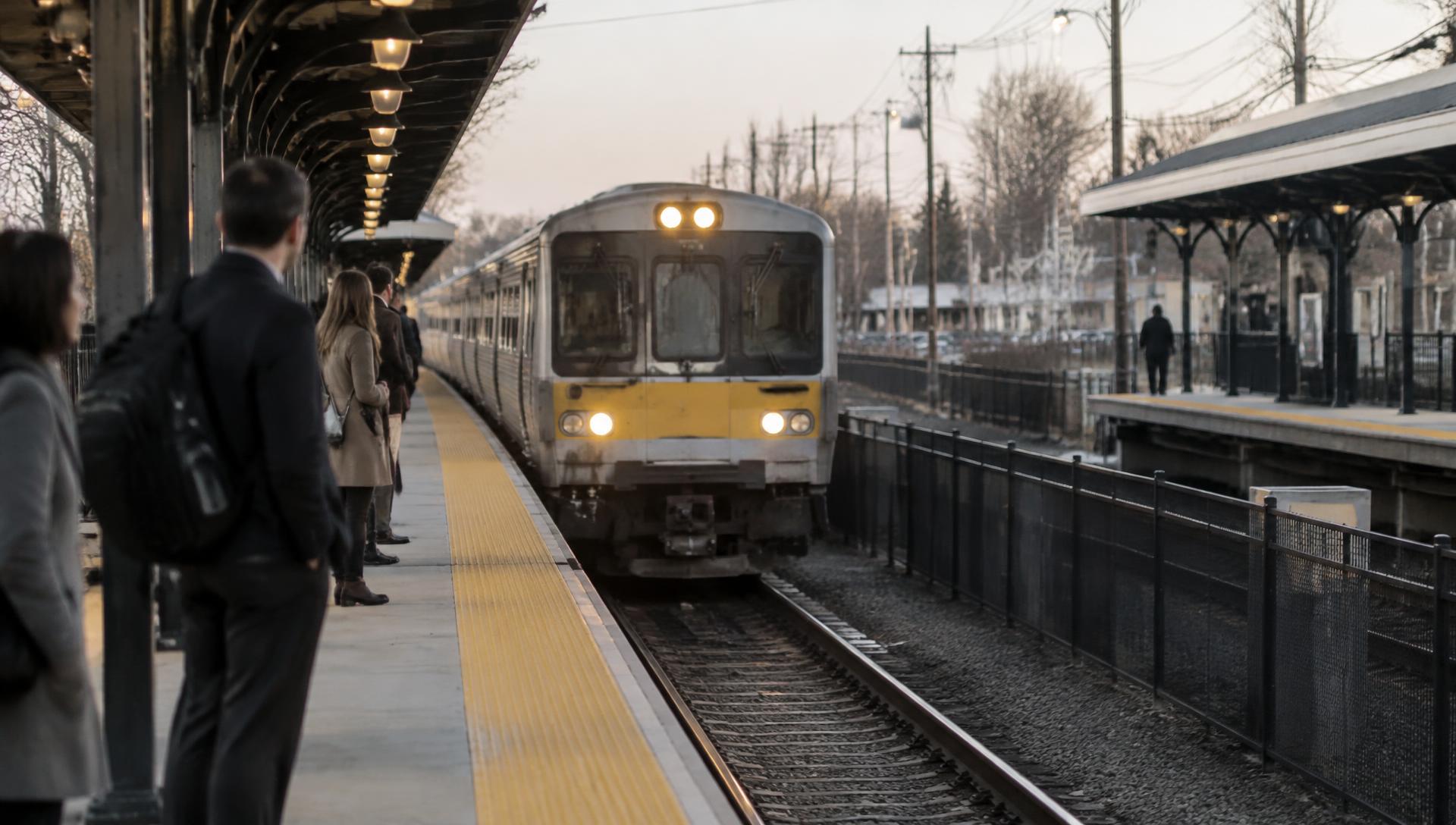
Regional Planning Activities
Collaborative work on mobility, safety, resiliency, freight and sustainability across New York City, Long Island and the Lower Hudson Valley.
FIND WHAT YOU NEED
REQUIRED PLANNING PRODUCTS
NYMTC develops federally required transportation planning products and analyses to guide the region's transportation planning activities and support compliance with clean air laws.
The long-range transportation planning framework for NYMTC's 10-county planning area.
DATA TOOLS
NYMTC collects, stores and analyzes transportation data and develops forecasts to support informed regional planning.
CHOOSE A TOOL TO GET STARTED
01 / 05
Locate, visualize and download transportation planning data using maps, charts and tables.
Launch TIGLATEST FROM NYMTC
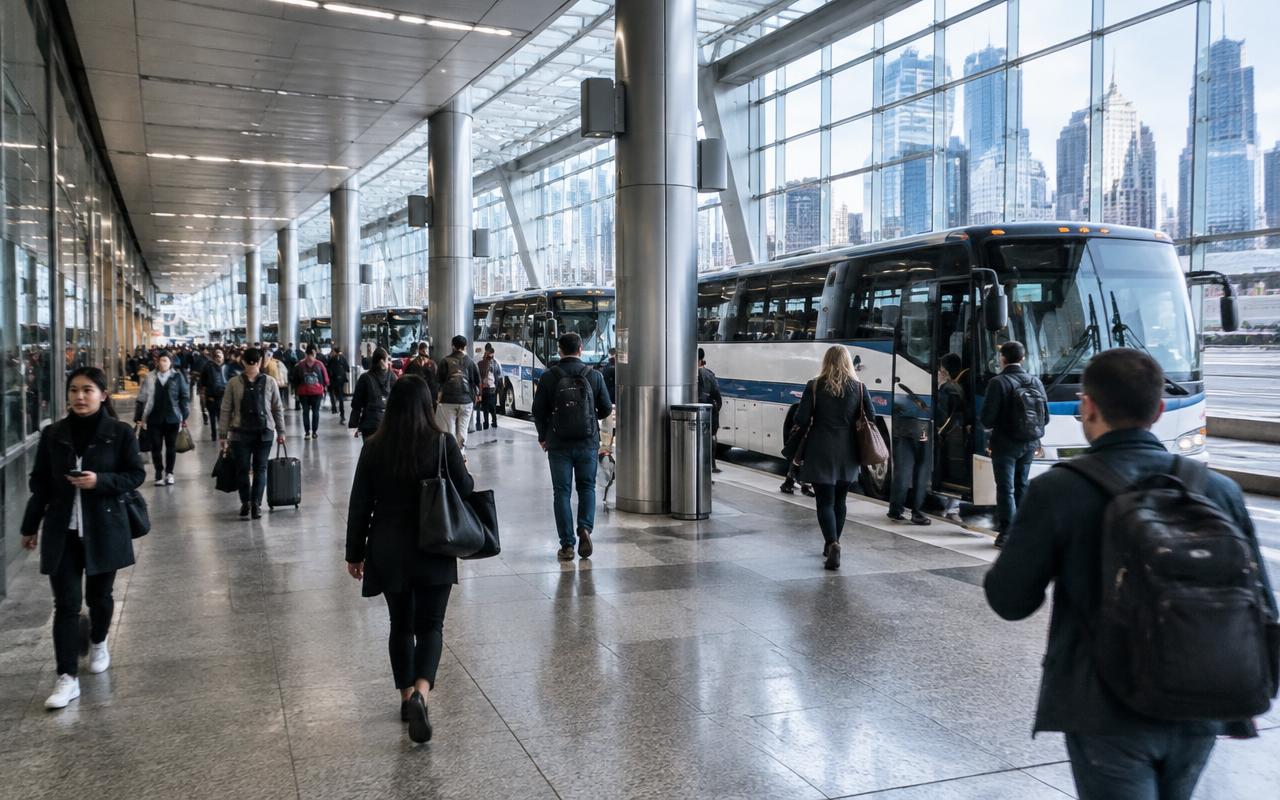
Brown Bag Program
A presentation on the replacement of the world's busiest bus terminal and its regional transportation role.
PFAC Meeting · September 17, 2026
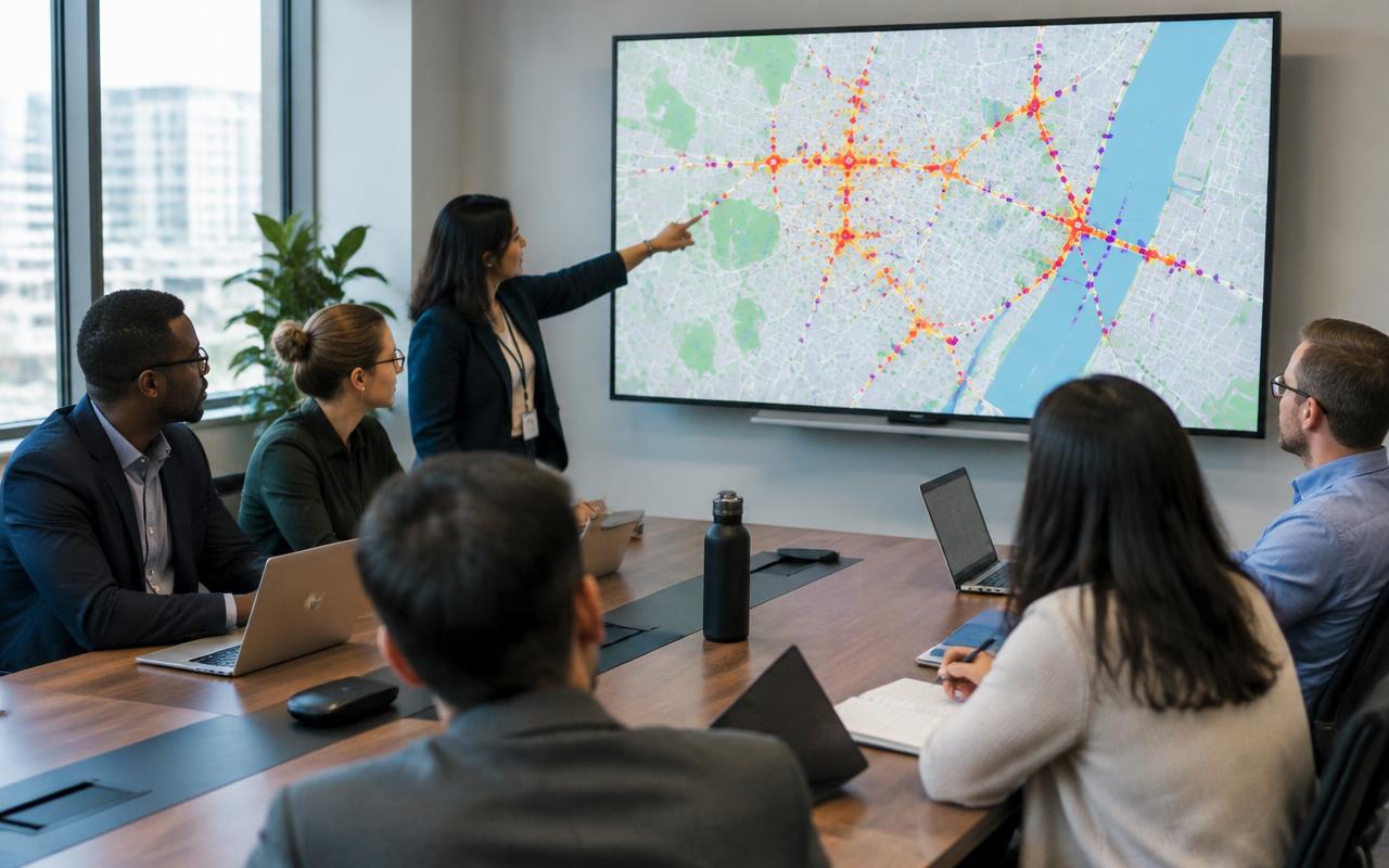
Recent and upcoming NYMTC developments, including an interactive tool analyzing crashes across the 10-county region.
Brown Bag Program · October 21, 2026
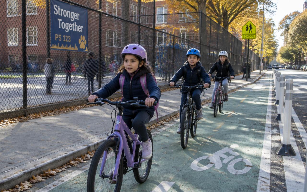
NYMTC's Brown Bag webinar featured Dr. Anna Laloë, founder of Shredders MTB, on how school-based cycling programs inspire lifelong riding habits.
CALENDAR
Pick a date to see NYMTC meetings, webinars and workshops scheduled for that day.
SELECTED DATE
Thu, November 12, 2026
Public Notice · Comment Periods
Announced October 21, 2026. Visit Comment Periods for current status and closing date.
GET INVOLVED
NYMTC engages communities, stakeholders and the public through meetings, review periods, workshops, webinars and other opportunities to participate in transportation planning.
OUR PLANNING AREA
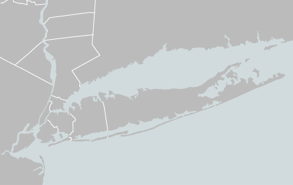
Regional transportation planning connects communities, infrastructure, mobility needs and investment priorities across NYMTC's 10-county planning area.
NYMTC-NOTES
Stay informed about regional transportation planning activities, public meetings and announcements.
Follow NYMTC